Underwater Robot Helps Monitor Arctic Ice Shelf Collapse

Researchers are relying on the bots for mapping changes underneath the ice in Antarctica.

May 10, 2017 5:00 am
The underwater glider “Storm Petrel” makes its maiden voyage. After this initial round, the team processed the data and then sent it out again for its full 7-day mission. (Damien Guihen/University of Tasmania)
Damien Guihen/University of Tasmania

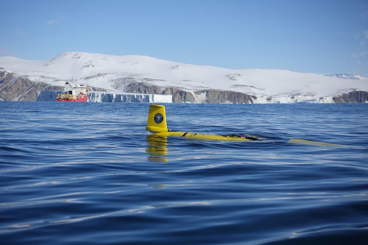
To help predict when the next massive chunk of ice will break off, researchers in Antarctica are using robots to go where humans can’t to observe real conditions.

UC Davis engineering professor Alex Forrest with the recovered underwater glider after its seven-day mission diving in Terra Nova Bay, Antarctica. (Damien Guihen/University of Tasmania)
Damien Guihen/University of Tasmania

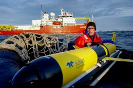
UC Davis engineering professor Alexander Forrest was part of a six-person robotics team on a mission to collect data about the Nansence ice shelf, from which two Manhattan-sized icebergs broke off last year. The information will help scientists understand the rate ice melt in the Arctic.

“Ice shelves are melting,” Forrest said in a press release. “We know this. But we don’t know how fast they’re melting. To actually make on-site measurements is the next step. We’re trying to get a baseline understanding of what changes are happening in the Antarctic. As a global community, we don’t really understand what we’re losing.”

The R/V Araon, a South Korean icebreaker, moves through ice and ocean just offshore Jang Bogo Station in Antarctica. This shot was captured with an unmanned aerial vehicle. (Damien Guihen/University of Tasmania)
Damien Guihen/University of Tasmania

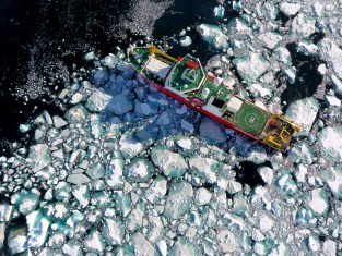
The robotics team spent almost two months conducting research from an icebreaker stationed in the Western Ross Sea and Terra Nova Bay as part of an expedition called Land-Ice/Ocean Network Exploration with Semiautonomous Systems (LIONESS).

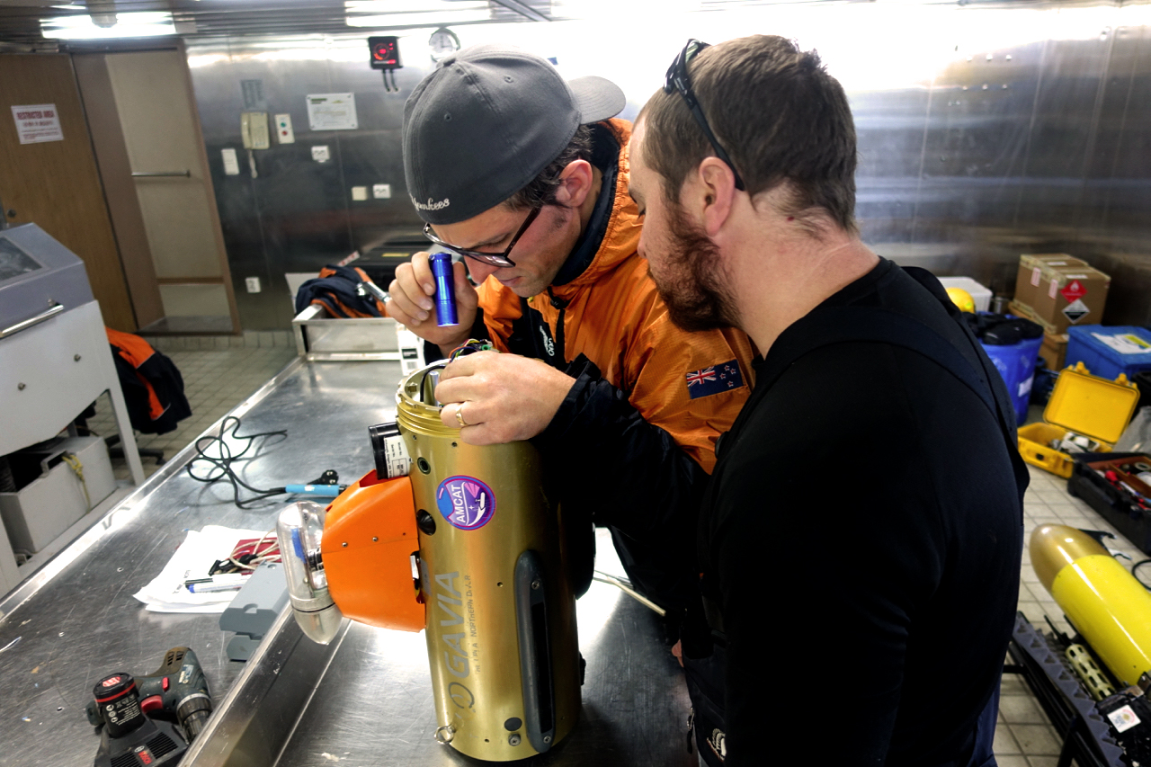
While one underwater drone mapped the bottom of the Nansen ice shelf, a winged glider patrolled its edge to monitor any changes and patrol for freshwater.

UC Davis engineering professor Alex Forrest, in orange jacket, and Nathan Kemp from Blue Ocean Monitoring out of Perth, Australia, do field repairs on the autonomous underwater vehicle (AUV) glider, Gavia. (Damien Guihen/University of Tasmania)
Damien Guihen/University of Tasmania

The InsideHook Newsletter.

News, advice and insights for the most interesting person in the room.