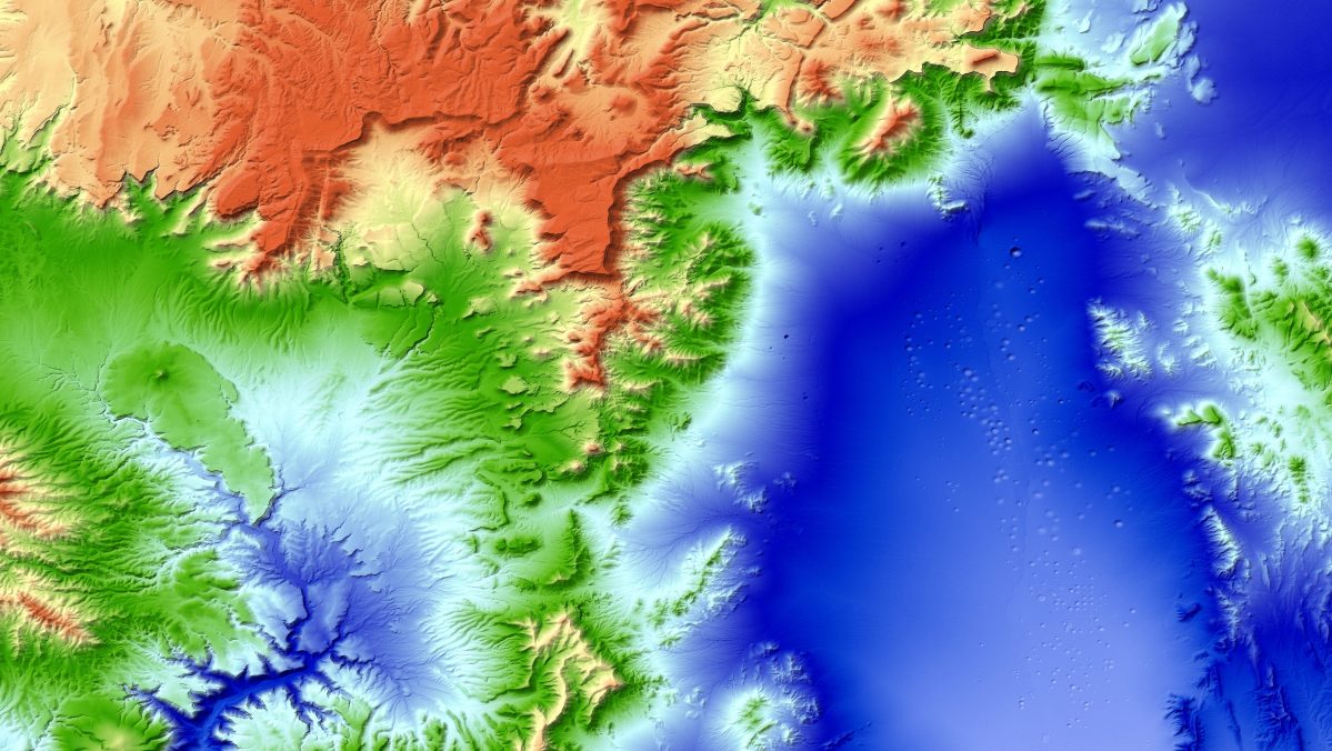
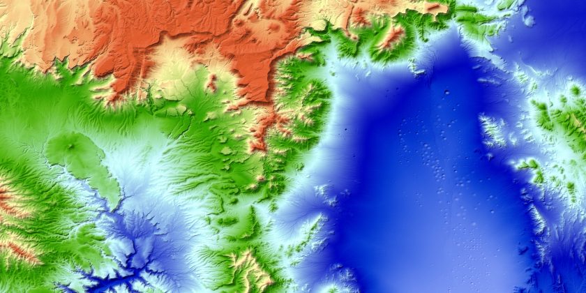
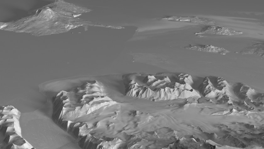
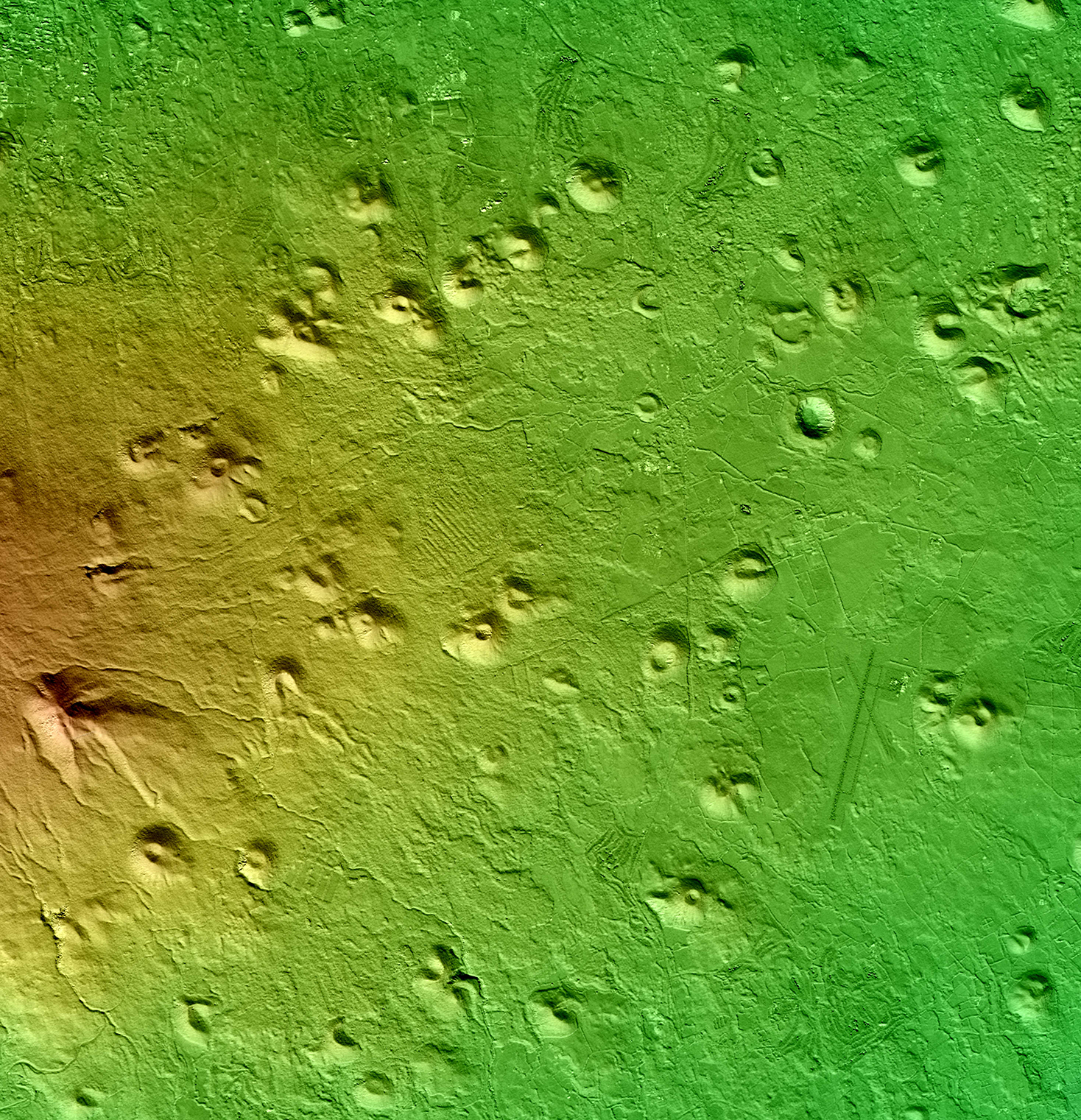
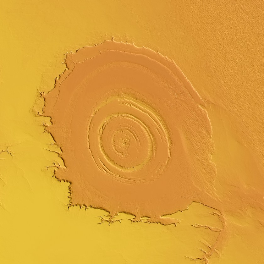
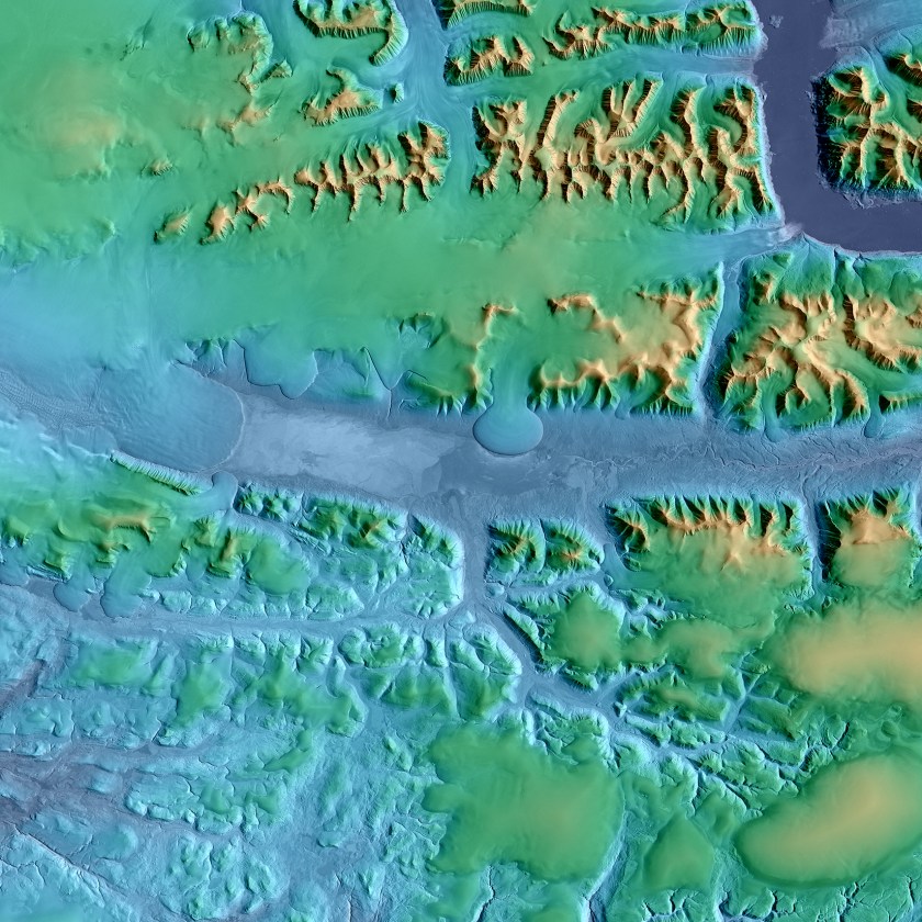
We’ve had a pretty detailed map of our planet in the palm of our hands for quite some time (thanks Google!), but creating a useful three-dimensional map of Earth has been a challenge. At least, it had been until now. Two satellites have been orbiting our planet for the last five years, scanning the 196.9 million square miles that comprise its surface, to create the world’s most accurate topographical map.
Researchers at the German Aerospace Center (DLR), used the data generated from the pair to develop a 3D world map that’s accurate within three feet (one meter). Before this, other mapping attempts were only able to attain accuracy within about 32 feet (ten meters). The two satellites, TerraSAR-X and TanDEM-X, have produced stunning photos and a unique data set with a range of uses.
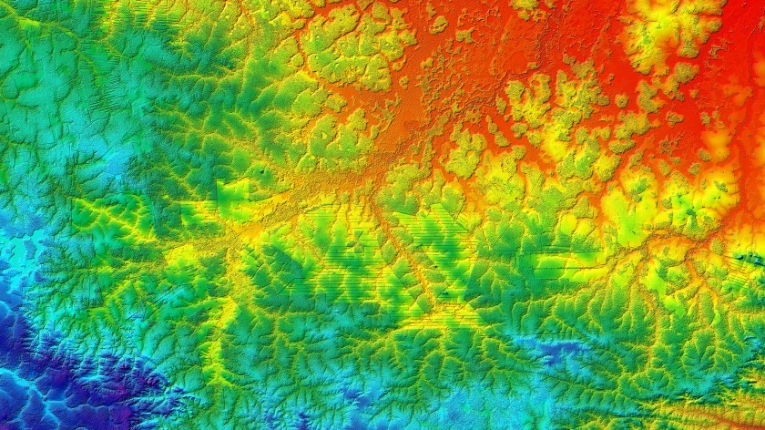
As RealClearLife has previously reported, information gleaned from satellite imagery analysis can be of great importance to both the public and private sectors. This particular data is extremely useful for environmental research, surveying, and mapping, as well as infrastructure planning. The DLR has already opened up its map to over 1,000 scientists in various sectors to pour through the data. (It is also selling information to companies.)
Some of the discoveries are genuinely jarring. Even before the map was released to the public, the DLR’s scientists said in a press release that it showed in some regions “glaciers are losing up to 30 meters in thickness per year in the area of the glacier tongues.” Many others have immediate practical applications. Some information could be invaluable to farmers, helping them determine the ideal time for harvest based on a crop’s location and give them a greater sense of the potential yield by determining a given crop’s growth rate. Using the accurate topographical data, road planning and urban development could become more efficient.
And how was this amazing map created? The orbiting duo uses radar, since it is the only mapping technology not affected by weather or light. In order to get the high level of accuracy, the satellites must orbit in a delicate dance with each other. Flying just 400 feet apart at their closest, they are constantly readjusted to adapt for what’s being targeted.
As impressive as this is, there’s room for improvement. Right now, the satellite’s battery only possesses enough power to operate for five minutes each hour. The map is currently updated in specific areas every 11 days, but given the limitations in power and computing (500 terabytes of data go into each map), the DLR has plans to scale that up dramatically. In their next phase, the group hopes to update the map twice a week.
To learn more about what’s next to come, click here. For more information on how scientists are using the satellite data, click here. And behold more satellite photos for your edification below.
This article was featured in the InsideHook newsletter. Sign up now.