A satellite sent to Mars to find water revealed a more Earth-like planet than scientists previously suspected.
The Mars Reconnaissance Orbiter (MRO) has beamed back thousands of high-resolution images since the satellite first arrived at the Red Planet in 2006. According to NASA, the onboard camera can photograph small-scale areas on Mars’ surface, about five times smaller than a football field, and focus on objects the size of a dinner table as the probe soars through the Martian atmosphere.
In 2015, the MRO achieved its mission and provided evidence of flowing water on Mars. But, the satellite has continued to provide visual gems of the planet’s stunning natural details ever since.
From frosted gullies and wind-scored deserts that get pummeled with dust storms, these photos show how Mars experiences similar weather conditions to those on our home planet.
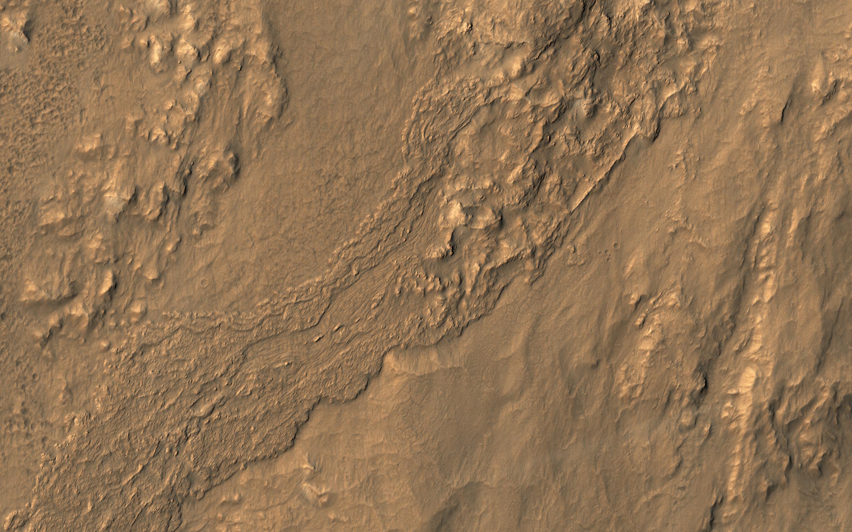
This image from NASA’s Mars Reconnaissance Orbiter (MRO) shows the location with the most impressive known gully activity in Mars’ northern hemisphere.(NASA/Mars Reconnaissance Orbiter)
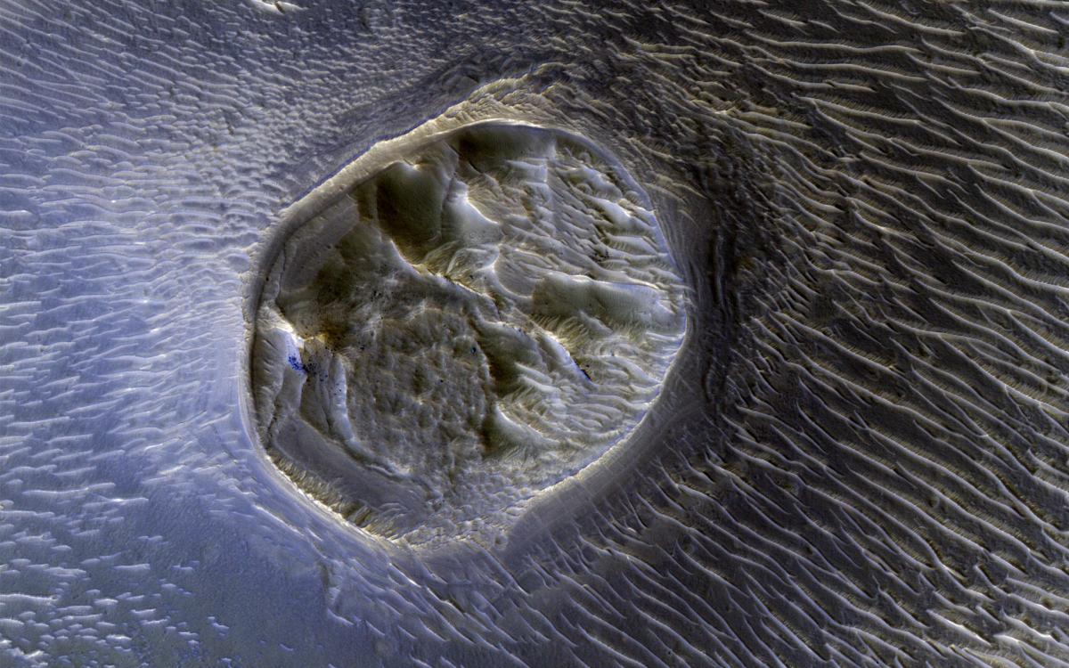
This image from NASA’s Mars Reconnaissance Orbiter shows an elongated depression from three merged craters. (NASA/Mars Reconnaissance Orbiter)
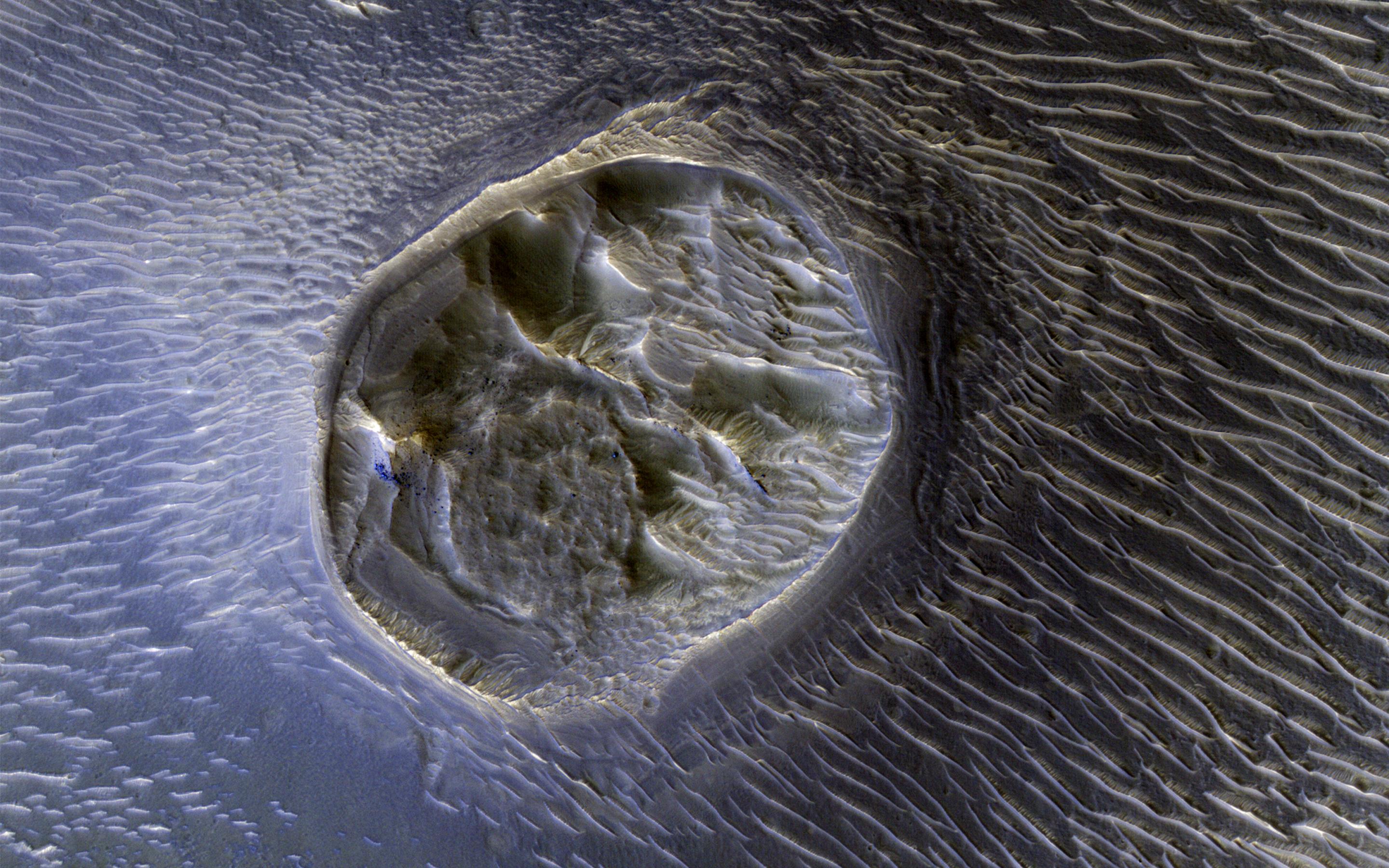
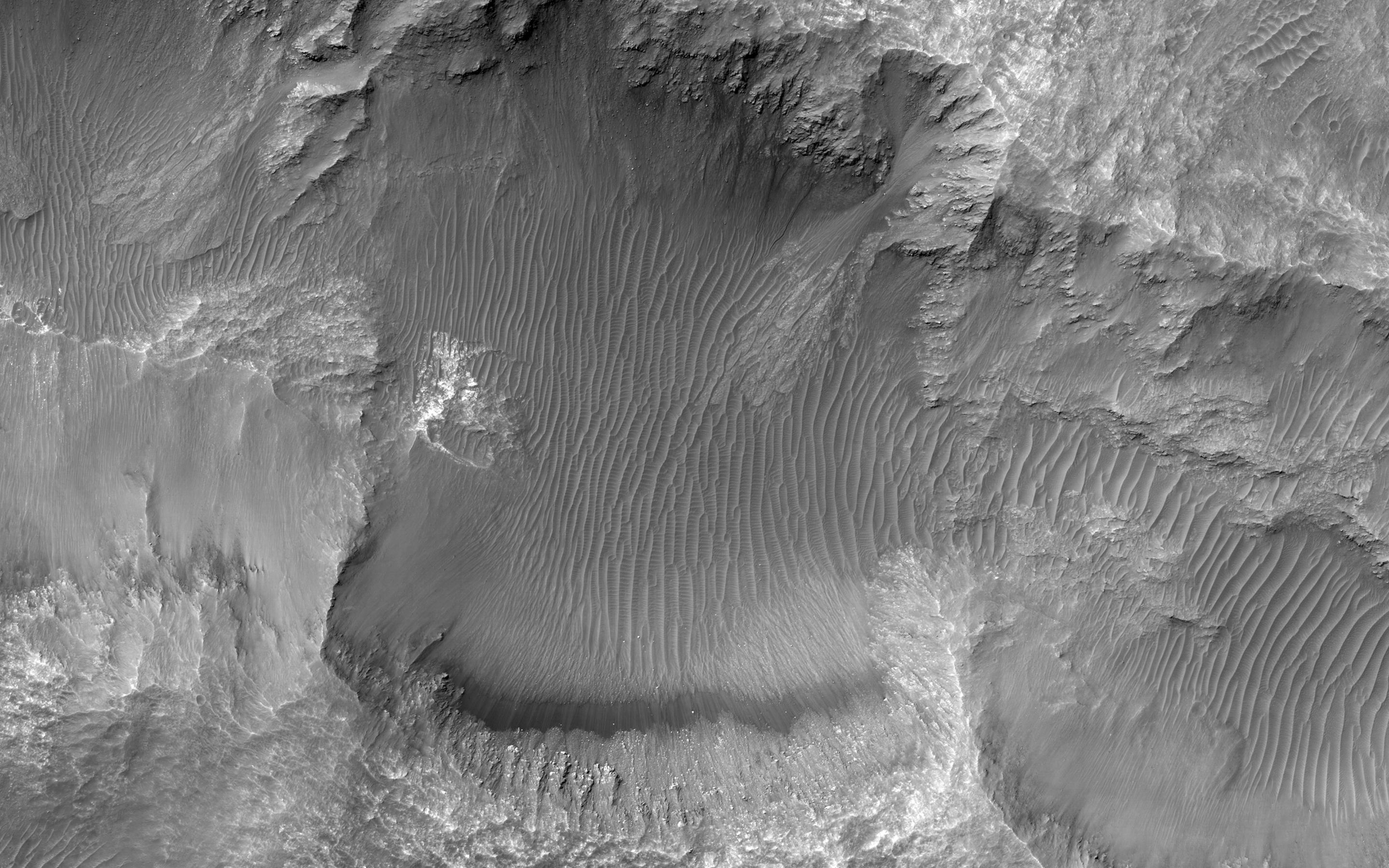
This image from NASA’s Mars Reconnaissance Orbiter shows a small (0.4 kilometer) mesa, one of several surrounded by sand dunes in Noctis Labyrinthyus, an extensively fractured region on the western end of Valles Marineris. (NASA/Mars Reconnaissance Orbiter)
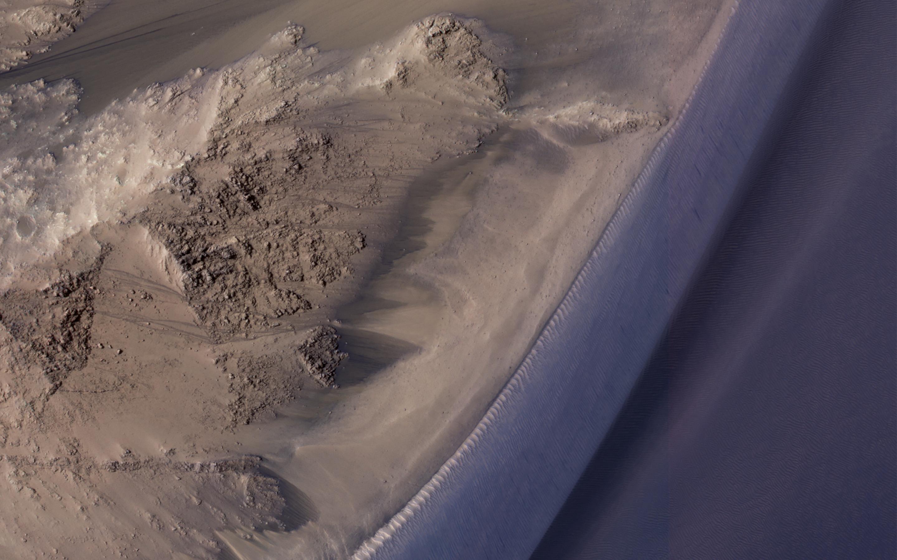
This image from NASA’s Mars Reconnaissance Orbiter covers a steep west-facing slope in southwestern Ganges Chasma, north of the larger canyons of Valles Marineris.(NASA/Mars Reconnaissance Orbiter)
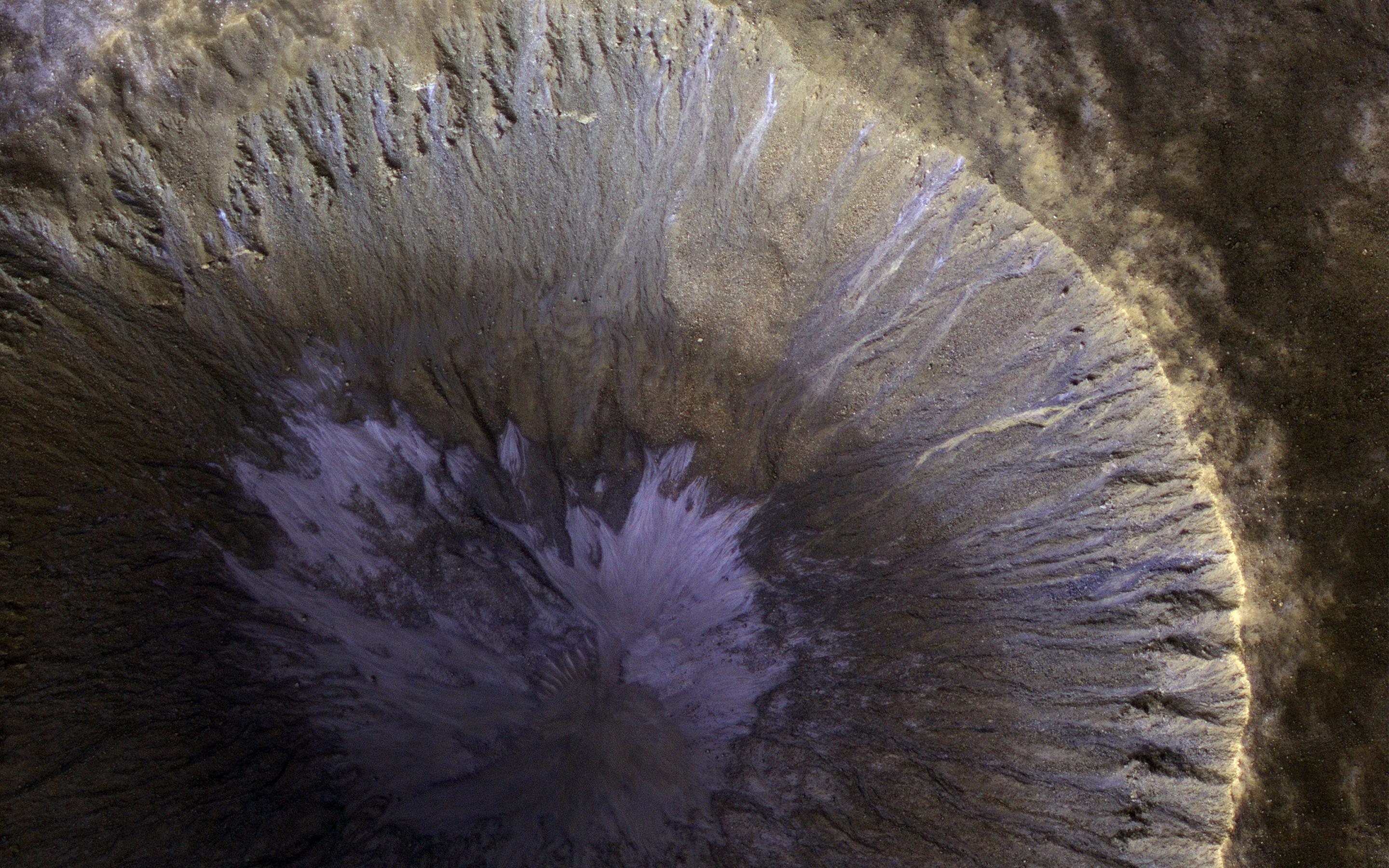
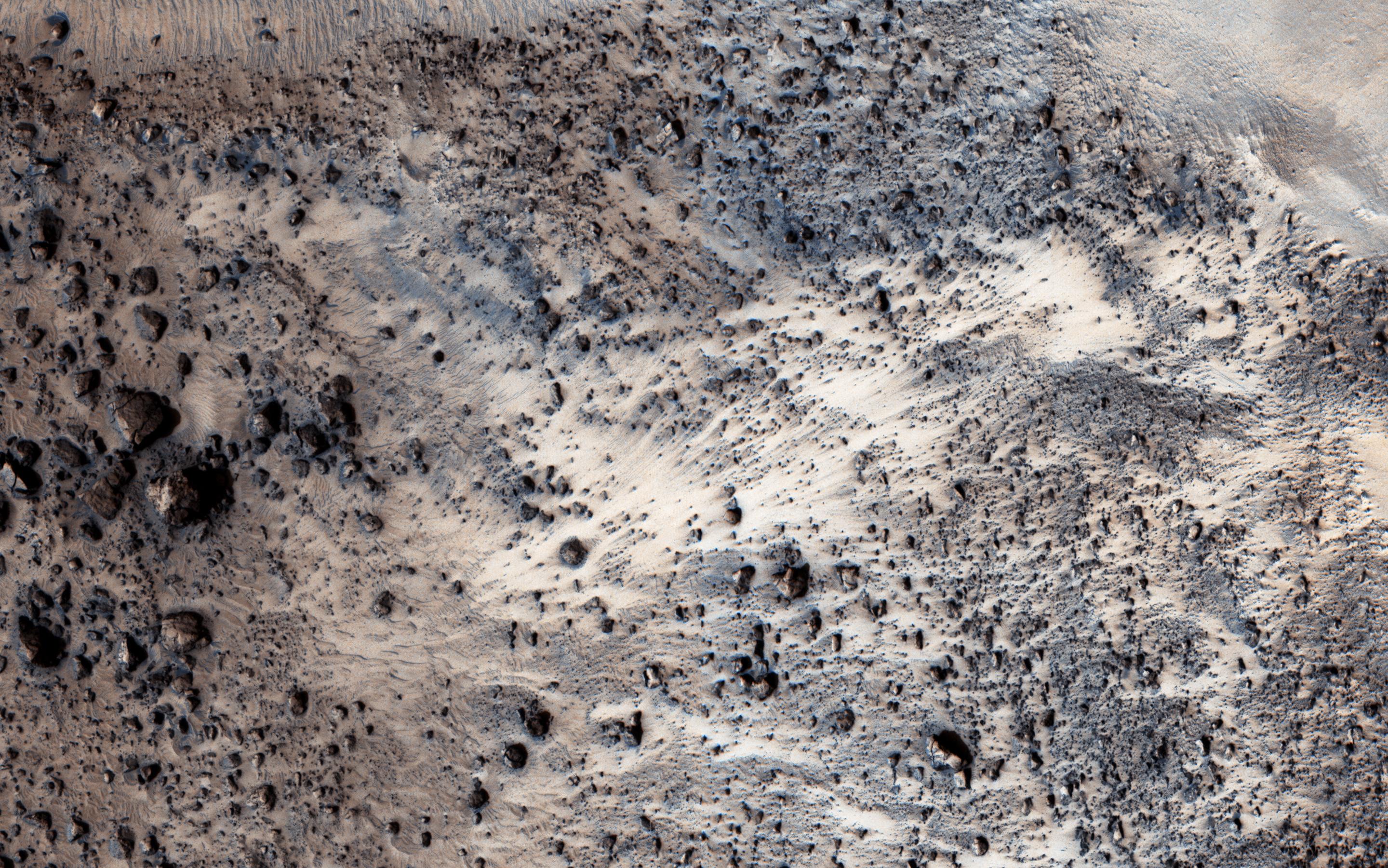
This oblique view from NASA’s Mars Reconnaissance Orbiter shows a small part of the near-rim ejecta from Tooting Crater. (NASA/Mars Reconnaissance Orbiter)
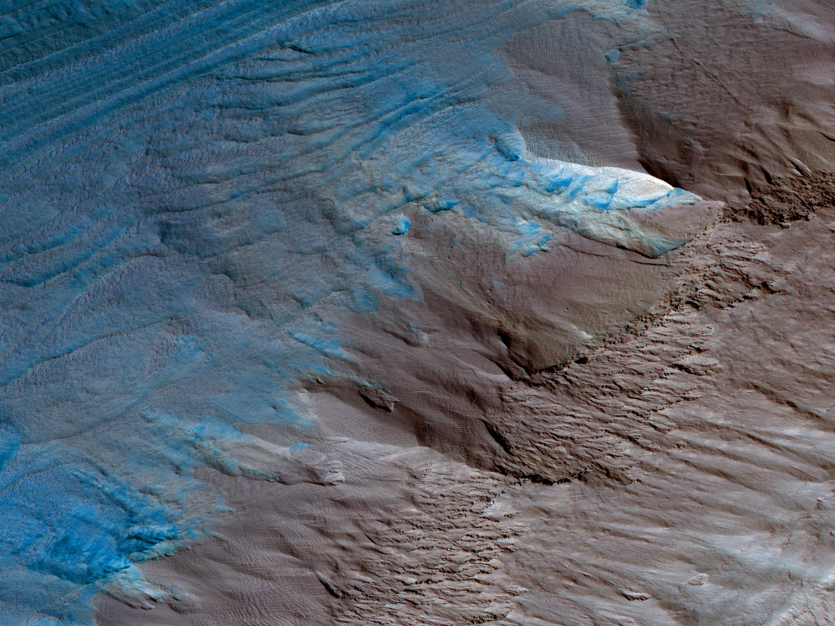
This image, an oblique view from NASA’s Mars Reconnaissance Orbiter of the sloping edge of the stack of icy layers over the South Pole, has some interesting morphologies.(NASA/Mars Reconnaissance Orbiter)
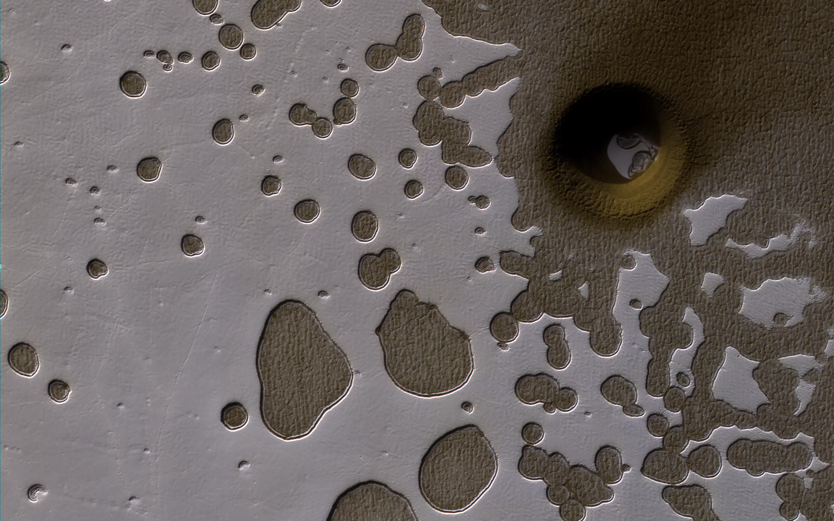
This observation from NASA’s Mars Reconnaissance Orbiter show it is late summer in the Southern hemisphere, so the Sun is low in the sky and subtle topography is accentuated in orbital images. (NASA/Mars Reconnaissance Orbiter)
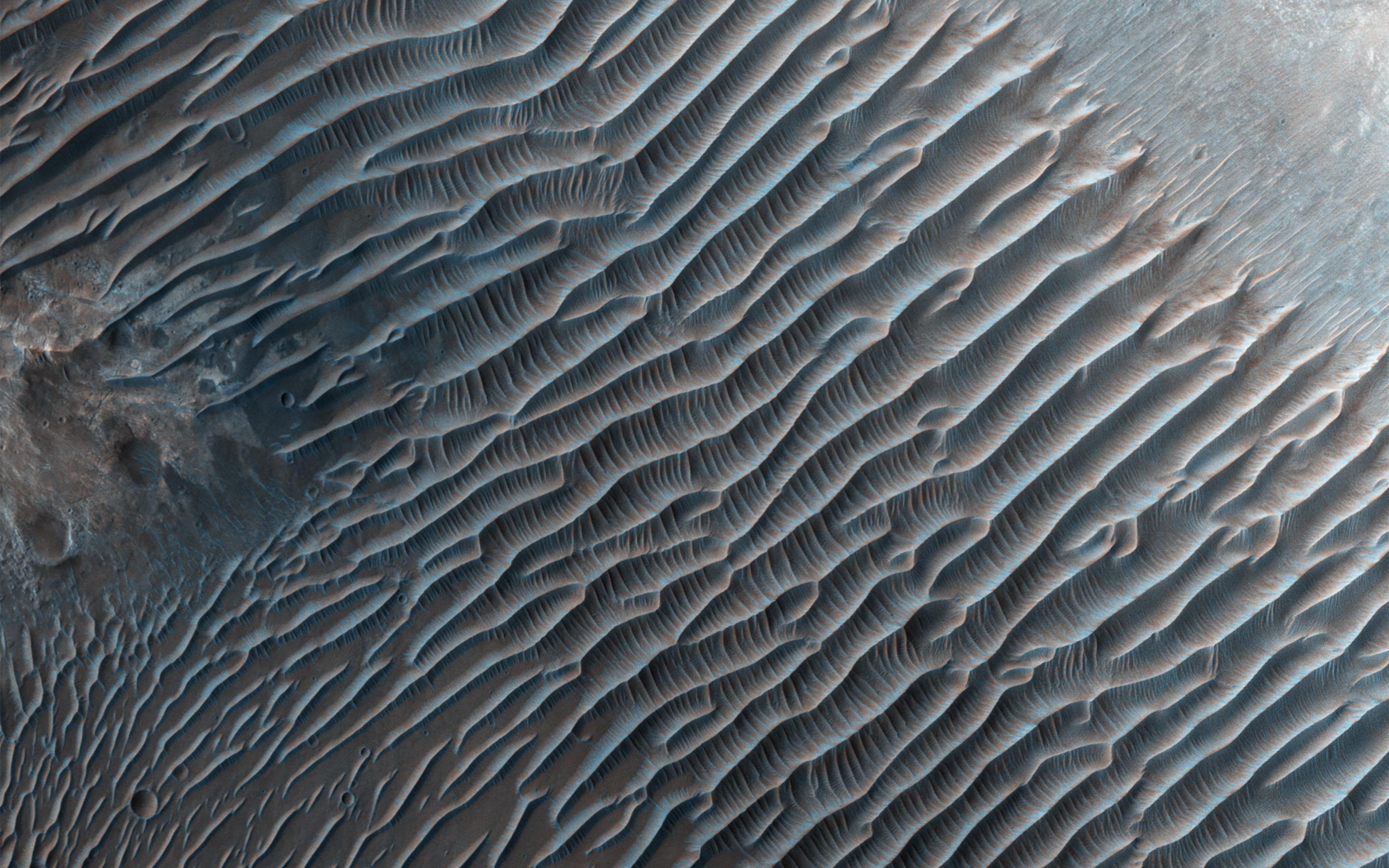
This image from NASA’s Mars Reconnaissance Orbiter shows small ripples, about 10 meters apart, located in Her Desher Vallis.
(NASA/Mars Reconnaissance Orbiter)
This image NASA’s Mars Reconnaissance Orbiter (MRO) finally completes a stereo pair with another observation acquired in 2007. (NASA/Mars Reconnaissance Orbiter)
Dark, windblown sand covers intricate sedimentary rock layers in this image captured by NASA’s Mars Reconnaissance Orbiter (MRO) from Ganges Chasma, a canyon in the Valles Marineris system.(NASA/Mars Reconnaissance Orbiter)
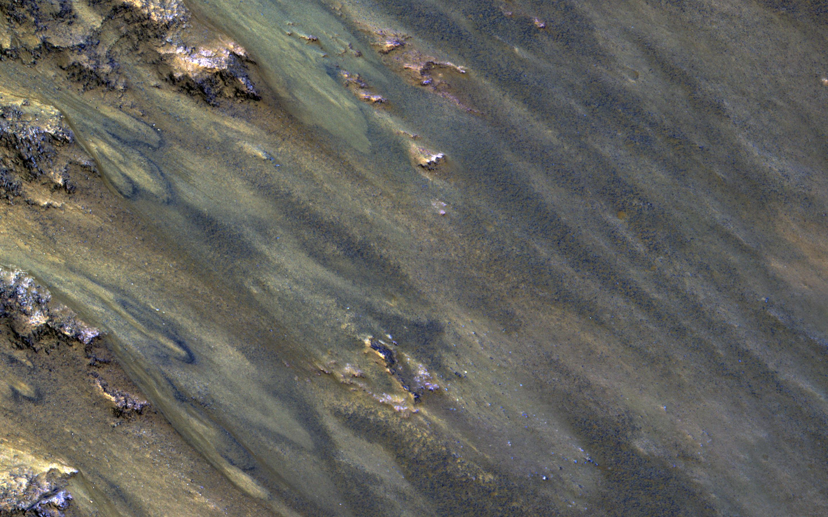
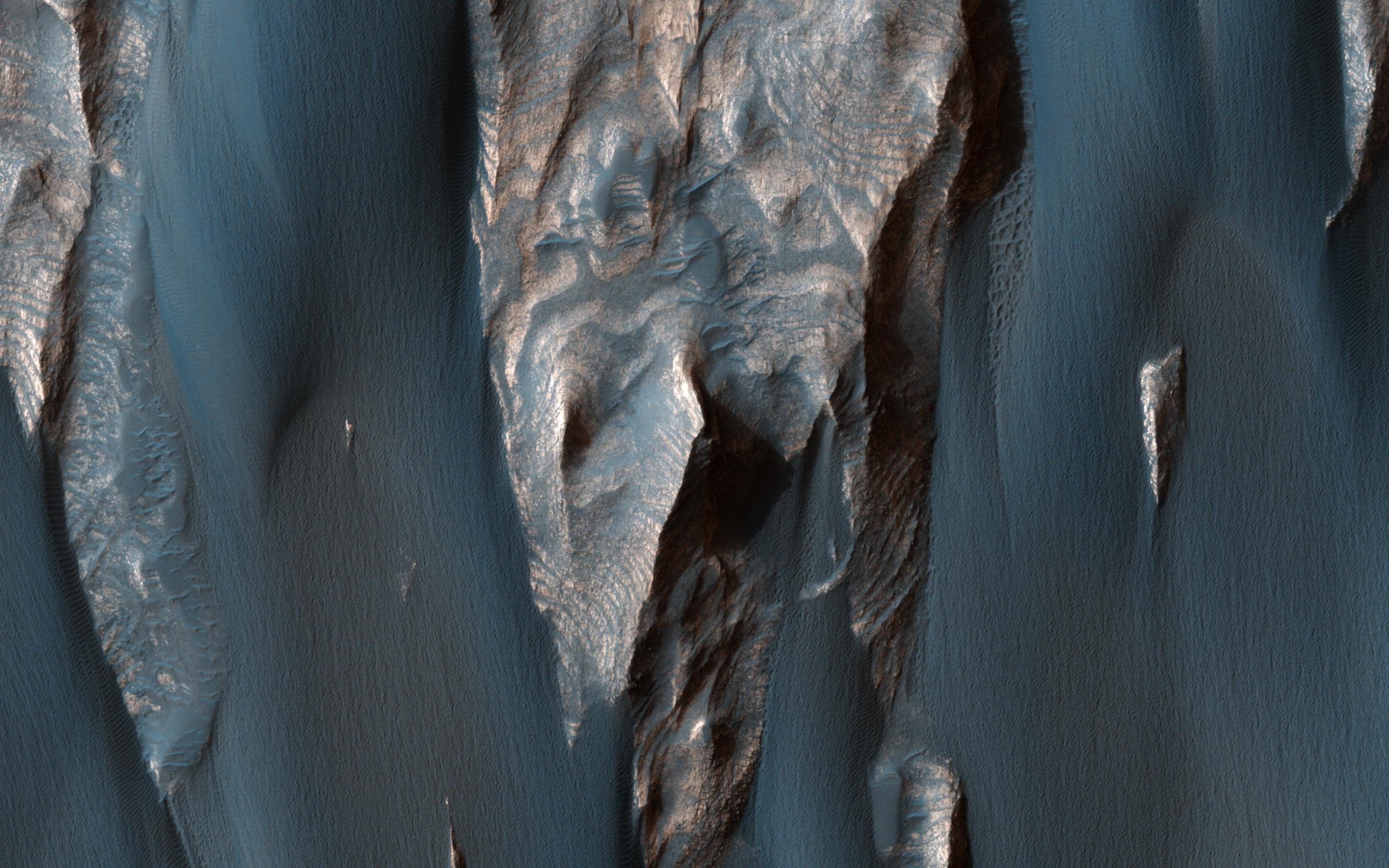
Recurring slope lineae (RSL) are seasonal flows on warm slopes, and are especially common in central and eastern Valles Marineris, as seen in this observation by NASA’s Mars Reconnaissance Orbiter (MRO).
(NASA/Mars Reconnaissance Orbiter)

Although large gullies (ravines) are concentrated at higher latitudes, there are gullies on steep slopes in equatorial regions, as seen in this image captured by NASA’s Mars Reconnaissance Orbiter (MRO).
(NASA/Mars Reconnaissance Orbiter)
This article was featured in the InsideHook newsletter. Sign up now.